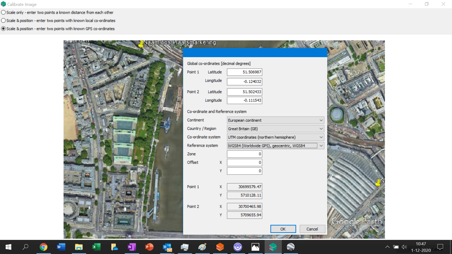
Georeference tool replaced with new georeference calibration option for images in iNoise V2021
Google Earth stopped support of the API that is used in the Georeference tool. Therefore we have taken out the Georeference tool and replaced it with a new georeference image calibration option in the ‘View | Background Maps’ menu option of iNoise V2021.
For georeferencing Google Earth images you can now enter 2 place marks in the latest version Google Earth with known GPS coordinates in decimal degrees and then use the ‘Edit | Copy Image’ (print screen) menu option in Google Earth to copy the image to the clipboard. Then you can paste the image in Paint and save it as a jpg file. During the calibration of the jpg file in iNoise you can then use the 2 place marks as the 2 known positions.
However be sure that you do not use a tilted view in Google Earth. This means that just before you make a print screen in Google Earth you need to press the key ‘r’ on your keyboard. That is a short cut for rotating the view to North and setting the view to top view without tilt.

